Geolocate

Sherman topographic map

Click on the map to display elevation.

About this map

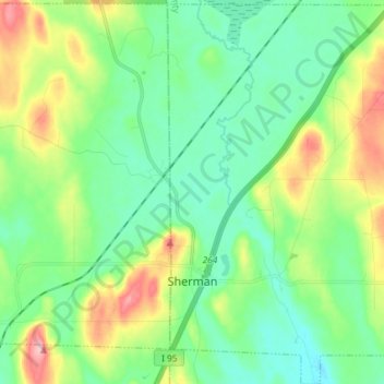
Name: Sherman topographic map, elevation, terrain.

Location: Sherman, County, Maine, 04776, United States (45.84401 -68.42760 45.94544 -68.29725)

Average elevation: 554 ft

Minimum elevation: 427 ft

Maximum elevation: 850 ft

County trails, hiking, mountain biking, running and outdoor activities

Gear up for your next adventure:

🏫Relief Map Kits - Hands-on tools for teaching landforms and elevation
🥄Camping Utensil Set - Lightweight utensils for outdoor meals
🧭Compass with Lanyard - Easy‑carry compass for navigation
🔭Stargazing Telescopes - Perfect for camping in low-light pollution areas shown on maps
🧣Merino Neck Gaiters - Multi-functional headwear for wind and sun protection

As an Amazon Associate, this site earns from qualifying purchases at no extra cost to you.