Geolocate

Chacala topographic map

Click on the map to display elevation.

About this map
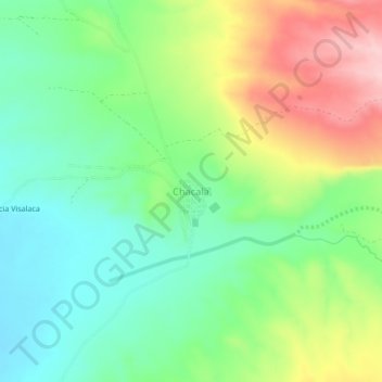
Name: Chacala topographic map, elevation, terrain.

Location: Chacala, Uyuni, Antonio Quijarro, Potosí, Bolivia (-20.19269 -66.88354 -20.15269 -66.84354)

Average elevation: 12,615 ft

Minimum elevation: 12,372 ft

Maximum elevation: 13,025 ft

Gear up for your next adventure:

📚Navigation Handbooks - Master the art of reading topographic maps and using a compass
🪶Camp Gear Gift Set - Perfect gift bundle for outdoor fans
👟Men's Trail Runners - Lightweight footwear for fast-paced exploration and light hiking
🗻Climbing Gear Basics - Essential gear for beginner climbers
🪶Multi‑Purpose Knife - Useful blade for camp and trail

As an Amazon Associate, this site earns from qualifying purchases at no extra cost to you.