
Uv topographic map
Interactive map
Click on the map to display elevation.
About this map
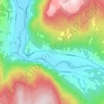
Name: Uv topographic map, elevation, terrain.
Location: Uv, Rennebu, Trøndelag, 7392, Noruega (62.82867 9.84586 62.86867 9.88586)
Average elevation: 1,368 ft
Minimum elevation: 676 ft
Maximum elevation: 2,530 ft
Other topographic maps
Click on a map to view its topography, its elevation and its terrain.