
Thank you for supporting this site ❤️
Make a donation
Make a donation
Gear up for your next adventure:
As an Amazon Associate, this site earns from qualifying purchases at no extra cost to you.
Serra del Prete topographic map
Click on the map to display elevation.
Thank you for supporting this site ❤️
Make a donation
Make a donation
Gear up for your next adventure:
As an Amazon Associate, this site earns from qualifying purchases at no extra cost to you.
About this map
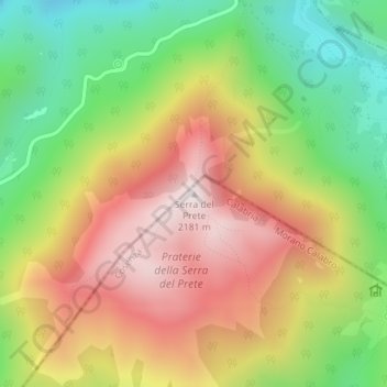
Name: Serra del Prete topographic map, elevation, terrain.
Location: Serra del Prete, Morano Calabro, Cosenza, Calabria, Italia (39.91974 16.15842 39.91984 16.15852)
Average elevation: 5,846 ft
Minimum elevation: 4,603 ft
Maximum elevation: 7,129 ft
Thank you for supporting this site ❤️
Make a donation
Make a donation
Gear up for your next adventure:
As an Amazon Associate, this site earns from qualifying purchases at no extra cost to you.