Geolocate

Caringin topographic map

Click on the map to display elevation.

About this map

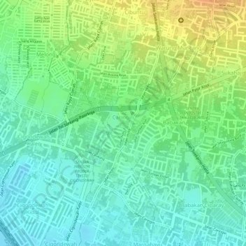
Name: Caringin topographic map, elevation, terrain.

Location: Caringin, Bandung Kulon, Bandung, West Java, Indonesia (-6.94239 107.56522 -6.92380 107.57506)

Average elevation: 2,290 ft

Minimum elevation: 2,234 ft

Maximum elevation: 2,365 ft

Other topographic maps

Click on a map to view its topography, its elevation and its terrain.

Sungai penuh sampah

Indonesia > West Java > Bandung > Situ Saeur

Average elevation: 2,257 ft

Gear up for your next adventure:

🛠️Outdoor Gear Repair Kit - Essential tools to fix gear on the trail
🧭Outdoor Navigation Book - Learn advanced navigation skills
🏕️Tent Footprint - Protect your tent base from wear
📡Handheld GPS Device - Reliable handheld GPS for outdoor navigation
🦶Hiking Gaiters - Keep debris and water out of your boots

As an Amazon Associate, this site earns from qualifying purchases at no extra cost to you.