Geolocate

Stronghold topographic map

Click on the map to display elevation.

About this map

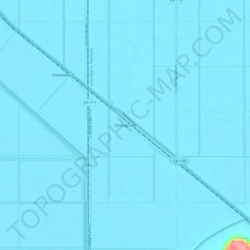
Name: Stronghold topographic map, elevation, terrain.

Location: Stronghold, Modoc County, California, 96134, United States (41.88543 -121.42971 41.92543 -121.38971)

Average elevation: 4,035 ft

Minimum elevation: 4,026 ft

Maximum elevation: 4,354 ft

Modoc County trails, hiking, mountain biking, running and outdoor activities

Other topographic maps

Click on a map to view its topography, its elevation and its terrain.

Homestead Flat

United States > California > Modoc County

Average elevation: 7,425 ft

Gear up for your next adventure:

🧥Waterproof Jacket for Hiking - Breathable and rugged rain jacket for outdoor excursions
🔌USB Car Charger - Car charger for on‑the‑go power needs
🔊Portable Camp Speaker - Music and alerts at camp
📚USA Hiking Guide Books - Top trail guides and map books
🛡️Bear Spray Outdoor - Protection in bear country hikes

As an Amazon Associate, this site earns from qualifying purchases at no extra cost to you.