Geolocate

Dorothy topographic map

Click on the map to display elevation.

About this map

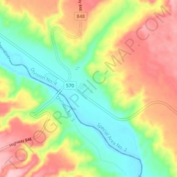
Name: Dorothy topographic map, elevation, terrain.

Location: Dorothy, Division No. 4, Alberta, Canada (51.26098 -112.34240 51.30098 -112.30240)

Average elevation: 2,421 ft

Minimum elevation: 2,172 ft

Maximum elevation: 2,736 ft

Gear up for your next adventure:

🪶Survival Guide Book - Expert advice for emergency preparedness
🥘Titanium Cookware - Durable, featherlight pots and pans for backpacking
🔋Solar Power Banks - Keep your GPS and phone charged in remote wilderness areas
🪶Paracord Bracelet - Survival bracelet with built‑in tools
📡GPS Antenna Upgrade - Enhance GPS reception in remote terrain

As an Amazon Associate, this site earns from qualifying purchases at no extra cost to you.