Geolocate

Serjali topographic map

Click on the map to display elevation.

About this map

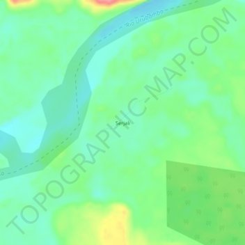
Name: Serjali topographic map, elevation, terrain.

Location: Serjali, Raymondi, Atalaya, Ucayali, Perú (-10.71151 -73.54120 -10.67151 -73.50120)

Average elevation: 755 ft

Minimum elevation: 666 ft

Maximum elevation: 955 ft

Gear up for your next adventure:

🔦LED Headlamp - Bright and durable LED headlamp for night navigation
🌎3D Topographic Globes - Raised relief globes for a tactile understanding of geography
🪶Multi‑Purpose Knife - Useful blade for camp and trail
🥤Water Filter Bottle - All‑in‑one filter bottle for safe hydration
🥾Women's Hiking Boots - Top-rated trail boots with ankle support and superior grip

As an Amazon Associate, this site earns from qualifying purchases at no extra cost to you.