Geolocate

Cygnet topographic map

Click on the map to display elevation.

About this map

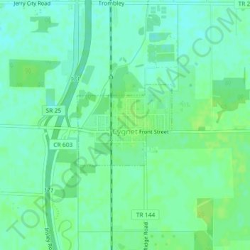
Name: Cygnet topographic map, elevation, terrain.

Location: Cygnet, Wood County, Ohio, United States (41.23636 -83.65014 41.24512 -83.63650)

Average elevation: 702 ft

Minimum elevation: 682 ft

Maximum elevation: 719 ft

Other topographic maps

Click on a map to view its topography, its elevation and its terrain.

Cedar Creek Woods

United States > Ohio > Wood County > Northwood

Average elevation: 607 ft

Westgate Homes

United States > Ohio > Wood County > Bowling Green

Average elevation: 689 ft

Perry Center

United States > Ohio > Wood County

Average elevation: 732 ft

Dowling

United States > Ohio > Wood County

Average elevation: 656 ft

Gear up for your next adventure:

🧭GPS Watch Accessories - Bands and chargers for GPS watches
☀️Outdoor Sunscreen - High protection sunscreen for outdoor activities
🪓Survival Multi‑Tool - Versatile tool for camp and trail tasks
🪶Compact Camp Shovel - Folding shovel for campsite tasks
⛑️Personal Locator Beacon - Safety beacon for emergencies

As an Amazon Associate, this site earns from qualifying purchases at no extra cost to you.