
Thank you for supporting this site ❤️
Make a donation
Make a donation
Gear up for your next adventure:
As an Amazon Associate, this site earns from qualifying purchases at no extra cost to you.
Ansuelle topographic map
Click on the map to display elevation.
Thank you for supporting this site ❤️
Make a donation
Make a donation
Gear up for your next adventure:
As an Amazon Associate, this site earns from qualifying purchases at no extra cost to you.
About this map
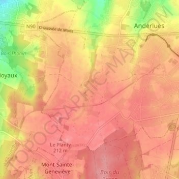
Name: Ansuelle topographic map, elevation, terrain.
Location: Ansuelle, Anderlues, Thuin, Hainaut, Wallonie, 6150, Belgique (50.37345 4.22922 50.41345 4.26922)
Average elevation: 620 ft
Minimum elevation: 423 ft
Maximum elevation: 702 ft
Thank you for supporting this site ❤️
Make a donation
Make a donation
Gear up for your next adventure:
As an Amazon Associate, this site earns from qualifying purchases at no extra cost to you.