
Make a donation
Gear up for your next adventure:
As an Amazon Associate, this site earns from qualifying purchases at no extra cost to you.
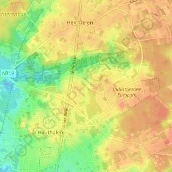
Laak topographic map
Click on the map to display elevation.
Make a donation
Gear up for your next adventure:
As an Amazon Associate, this site earns from qualifying purchases at no extra cost to you.
Laak
Ten noorden van Laak ligt het gebied Lakerschans. Deze schans, van ruim 1 ha, werd voor het eerst vermeld in 1599. In de toenmalige onrustige tijden werd de bevolking hier bescherming geboden tegen plunderende troepen. De schans bestond uit een omgrachte hoogte, en de gracht werd gevoed door de nabijliggende Mangelbeek. De hoogte is nog enigszins in het moerassige landschap te herkennen. Er werden enkele goudstukken in dit gebied gevonden.
Make a donation
Gear up for your next adventure:
As an Amazon Associate, this site earns from qualifying purchases at no extra cost to you.
About this map
Name: Laak topographic map, elevation, terrain.
Average elevation: 213 ft
Minimum elevation: 135 ft
Maximum elevation: 262 ft
Make a donation
Gear up for your next adventure:
As an Amazon Associate, this site earns from qualifying purchases at no extra cost to you.