Geolocate

Pawa topographic map

Click on the map to display elevation.

About this map

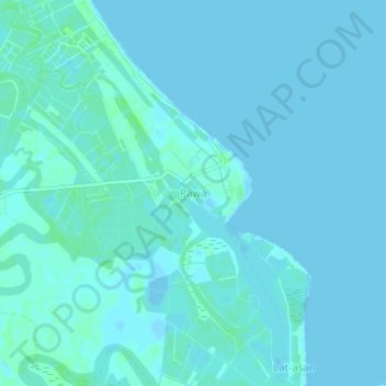
Name: Pawa topographic map, elevation, terrain.

Location: Pawa, Panay, Capiz, Western Visayas, Philippines (11.54378 122.83241 11.58378 122.87241)

Average elevation: 7 ft

Minimum elevation: -3 ft

Maximum elevation: 23 ft

Other topographic maps

Click on a map to view its topography, its elevation and its terrain.

Navitas

Philippines > Capiz > Panay

Average elevation: 7 ft

Barangay Pawa

Philippines > Capiz > Panay

Average elevation: 10 ft

Gear up for your next adventure:

🪄Magnetic Compass - Accurate compass for navigation
👟Men's Trail Runners - Lightweight footwear for fast-paced exploration and light hiking
📷Action Cameras - Rugged cameras to document your journeys across rugged terrain
🔌USB Car Charger - Car charger for on‑the‑go power needs
🧯Portable Fire Pit - Compact fire pit for camping spots

As an Amazon Associate, this site earns from qualifying purchases at no extra cost to you.