
Thank you for supporting this site ❤️
Make a donation
Make a donation
Gear up for your next adventure:
As an Amazon Associate, this site earns from qualifying purchases at no extra cost to you.
Nadun topographic map
Click on the map to display elevation.
Thank you for supporting this site ❤️
Make a donation
Make a donation
Gear up for your next adventure:
As an Amazon Associate, this site earns from qualifying purchases at no extra cost to you.
About this map
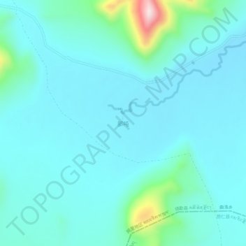
Name: Nadun topographic map, elevation, terrain.
Location: Nadun, Quluo, Coqên County, Ngari Prefecture, Tibet, China (30.68607 85.71324 30.72607 85.75324)
Average elevation: 15,374 ft
Minimum elevation: 15,197 ft
Maximum elevation: 16,480 ft
Thank you for supporting this site ❤️
Make a donation
Make a donation
Gear up for your next adventure:
As an Amazon Associate, this site earns from qualifying purchases at no extra cost to you.