Geolocate

Oneida topographic map

Click on the map to display elevation.

About this map

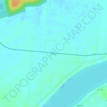
Name: Oneida topographic map, elevation, terrain.

Location: Oneida, St. James Parish, Louisiana, 70743, United States (29.99937 -90.81787 30.03937 -90.77787)

Average elevation: 16 ft

Minimum elevation: -7 ft

Maximum elevation: 105 ft

St. James Parish trails, hiking, mountain biking, running and outdoor activities

Gear up for your next adventure:

🏕️Tent Footprint - Protect your tent base from wear
📡GPS Antenna Upgrade - Enhance GPS reception in remote terrain
🕶️Glacier Sunglasses - Side shields to protect eyes from high-altitude snow glare
🧭Map Reading Tools - Tools and kits for map navigation
🧦Hiking Socks - Comfortable socks to prevent blisters on long hikes

As an Amazon Associate, this site earns from qualifying purchases at no extra cost to you.