Geolocate

Clugin topographic map

Click on the map to display elevation.

About this map
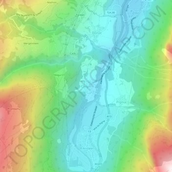
Name: Clugin topographic map, elevation, terrain.

Location: Clugin, Andeer, Viamala, Grisons, 7442, Suisse (46.59672 9.40626 46.63672 9.44626)

Average elevation: 4,288 ft

Minimum elevation: 3,028 ft

Maximum elevation: 7,133 ft

Other topographic maps

Click on a map to view its topography, its elevation and its terrain.

Hinterrhein

Suisse > Grisons > Viamala

Average elevation: 5,846 ft

Andeer

Suisse > Grisons > Viamala

Average elevation: 6,549 ft

Nufenen

Suisse > Grisons > Viamala > Rheinwald

Average elevation: 7,110 ft

Thusis

Suisse > Grisons > Viamala

Average elevation: 4,350 ft

Domleschg

Suisse > Grisons > Viamala

Average elevation: 4,810 ft

Sils im Domleschg

Suisse > Grisons > Viamala

Average elevation: 3,455 ft

Gear up for your next adventure:

📻Weather Alert Radios - Stay informed of storm risks while off-the-grid
🥾Women's Hiking Boots - Top-rated trail boots with ankle support and superior grip
🪶Thermal Camp Blanket - Extra warmth for cold nights
🎒Waterproof Dry Bags - Keep your electronics and maps dry inside your pack
🧢Outdoor Hiking Hat - Sun protection hat for outdoor explorers

As an Amazon Associate, this site earns from qualifying purchases at no extra cost to you.