
Thank you for supporting this site ❤️
Make a donation
Make a donation
Gear up for your next adventure:
As an Amazon Associate, this site earns from qualifying purchases at no extra cost to you.
Tilwara topographic map
Click on the map to display elevation.
Thank you for supporting this site ❤️
Make a donation
Make a donation
Gear up for your next adventure:
As an Amazon Associate, this site earns from qualifying purchases at no extra cost to you.
About this map
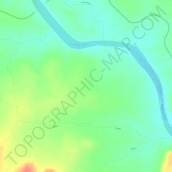
Name: Tilwara topographic map, elevation, terrain.
Location: Tilwara, Dhanora Tahsil, Seoni District, Madhya Pradesh, India (22.42947 79.70069 22.44709 79.72876)
Average elevation: 1,575 ft
Minimum elevation: 1,506 ft
Maximum elevation: 1,686 ft
Thank you for supporting this site ❤️
Make a donation
Make a donation
Gear up for your next adventure:
As an Amazon Associate, this site earns from qualifying purchases at no extra cost to you.