
朱河镇 topographic map
Interactive map
Click on the map to display elevation.
About this map
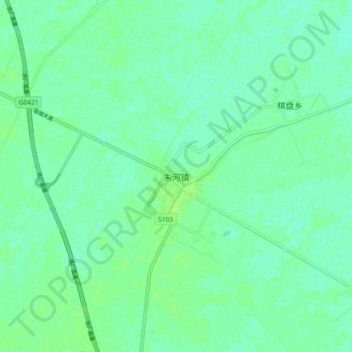
Name: 朱河镇 topographic map, elevation, terrain.
Location: 朱河镇, 荆州市, 湖北省, 434000, 中国 (29.69457 113.08344 29.77457 113.16344)
Average elevation: 89 ft
Minimum elevation: 72 ft
Maximum elevation: 102 ft
Other topographic maps
Click on a map to view its topography, its elevation and its terrain.