
Thank you for supporting this site ❤️
Make a donation
Make a donation
Gear up for your next adventure:
As an Amazon Associate, this site earns from qualifying purchases at no extra cost to you.
Azores topographic map
Click on the map to display elevation.
Thank you for supporting this site ❤️
Make a donation
Make a donation
Gear up for your next adventure:
As an Amazon Associate, this site earns from qualifying purchases at no extra cost to you.
About this map
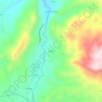
Name: Azores topographic map, elevation, terrain.
Location: Azores, Priego de Córdoba, Córdoba, Andalusia, 14800, Spain (37.44756 -4.20261 37.48756 -4.16261)
Average elevation: 2,152 ft
Minimum elevation: 1,558 ft
Maximum elevation: 3,196 ft
Thank you for supporting this site ❤️
Make a donation
Make a donation
Gear up for your next adventure:
As an Amazon Associate, this site earns from qualifying purchases at no extra cost to you.