Geolocate

Mooreland topographic map

Click on the map to display elevation.

About this map

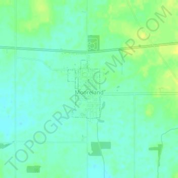
Name: Mooreland topographic map, elevation, terrain.

Location: Mooreland, Henry County, Indiana, 47360, United States (39.99333 -85.25506 40.00219 -85.24757)

Average elevation: 1,129 ft

Minimum elevation: 1,102 ft

Maximum elevation: 1,168 ft

Henry County trails, hiking, mountain biking, running and outdoor activities

Other topographic maps

Click on a map to view its topography, its elevation and its terrain.

Messick

United States > Indiana > Henry County

Average elevation: 1,096 ft

Westwood

United States > Indiana > Henry County

Average elevation: 1,047 ft

Gear up for your next adventure:

🥩Freeze-Dried Meals - Nutritious and lightweight food for remote expeditions
🪶Paracord Bracelet - Survival bracelet with built‑in tools
Backpacking Tents - Weight-optimized shelters for multi-day topographic surveys
🚑Emergency Bivvies - Heat-reflective sleeping bags for survival situations
🪶Fire Starter Kit - Reliable fire starter for survival and camping

As an Amazon Associate, this site earns from qualifying purchases at no extra cost to you.