
Poipet topographic map
Click on the map to display elevation.
About this map
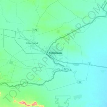
Name: Poipet topographic map, elevation, terrain.
Location: Poipet, Bantey Meanchey, Cambodia (13.49940 102.41083 13.81940 102.73083)
Average elevation: 171 ft
Minimum elevation: 62 ft
Maximum elevation: 1,109 ft