
NamibRand Nature Reserve topographic map
Interactive map
Click on the map to display elevation.
About this map
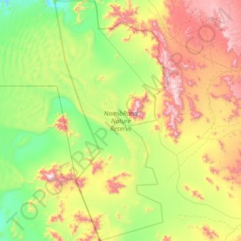
Name: NamibRand Nature Reserve topographic map, elevation, terrain.
Location: NamibRand Nature Reserve, Hardap, Namibia (-25.45527 15.76716 -24.75071 16.13558)
Average elevation: 3,802 ft
Minimum elevation: 2,287 ft
Maximum elevation: 6,677 ft
Other topographic maps
Click on a map to view its topography, its elevation and its terrain.