
Thank you for supporting this site ❤️
Make a donation
Make a donation
Gear up for your next adventure:
As an Amazon Associate, this site earns from qualifying purchases at no extra cost to you.
Ambach topographic map
Click on the map to display elevation.
Thank you for supporting this site ❤️
Make a donation
Make a donation
Gear up for your next adventure:
As an Amazon Associate, this site earns from qualifying purchases at no extra cost to you.
About this map
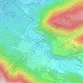
Name: Ambach topographic map, elevation, terrain.
Location: Ambach, Gemeinde Haiming, Bezirk Imst, Tirol, 6432, Österreich (47.19571 10.84687 47.23571 10.88687)
Average elevation: 3,232 ft
Minimum elevation: 2,211 ft
Maximum elevation: 5,617 ft
Thank you for supporting this site ❤️
Make a donation
Make a donation
Gear up for your next adventure:
As an Amazon Associate, this site earns from qualifying purchases at no extra cost to you.