
Thank you for supporting this site ❤️
Make a donation
Make a donation
Gear up for your next adventure:
As an Amazon Associate, this site earns from qualifying purchases at no extra cost to you.
Boxasní topographic map
Click on the map to display elevation.
Thank you for supporting this site ❤️
Make a donation
Make a donation
Gear up for your next adventure:
As an Amazon Associate, this site earns from qualifying purchases at no extra cost to you.
About this map
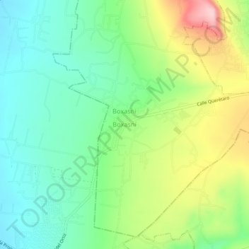
Name: Boxasní topographic map, elevation, terrain.
Location: Boxasní, Cadereyta de Montes, Querétaro, 76505, Mexico (20.65083 -99.86861 20.69083 -99.82861)
Average elevation: 6,818 ft
Minimum elevation: 6,549 ft
Maximum elevation: 7,323 ft
Thank you for supporting this site ❤️
Make a donation
Make a donation
Gear up for your next adventure:
As an Amazon Associate, this site earns from qualifying purchases at no extra cost to you.