
Caracucho topographic map
Click on the map to display elevation.
About this map
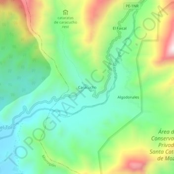
Name: Caracucho topographic map, elevation, terrain.
Location: Caracucho, Santo Domingo, Morropón, Piura, Perú (-5.16316 -79.93759 -5.12316 -79.89759)
Average elevation: 1,460 ft
Minimum elevation: 659 ft
Maximum elevation: 3,015 ft