
Thank you for supporting this site ❤️
Make a donation
Make a donation
Gear up for your next adventure:
As an Amazon Associate, this site earns from qualifying purchases at no extra cost to you.
Vanadzor topographic map
Click on the map to display elevation.
Thank you for supporting this site ❤️
Make a donation
Make a donation
Gear up for your next adventure:
As an Amazon Associate, this site earns from qualifying purchases at no extra cost to you.
About this map
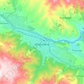
Name: Vanadzor topographic map, elevation, terrain.
Location: Vanadzor, Vanadzor community, Lori Province, Armenia (40.77836 44.41999 40.84879 44.55385)
Average elevation: 5,479 ft
Minimum elevation: 4,078 ft
Maximum elevation: 8,186 ft
Thank you for supporting this site ❤️
Make a donation
Make a donation
Gear up for your next adventure:
As an Amazon Associate, this site earns from qualifying purchases at no extra cost to you.