
Thank you for supporting this site ❤️
Make a donation
Make a donation
Gear up for your next adventure:
As an Amazon Associate, this site earns from qualifying purchases at no extra cost to you.
Moreti topographic map
Click on the map to display elevation.
Thank you for supporting this site ❤️
Make a donation
Make a donation
Gear up for your next adventure:
As an Amazon Associate, this site earns from qualifying purchases at no extra cost to you.
About this map
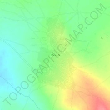
Name: Moreti topographic map, elevation, terrain.
Location: Moreti, Kongwa, Regione di Dodoma, Central Zone, Tanzania (-6.19536 36.79288 -6.15536 36.83288)
Average elevation: 4,173 ft
Minimum elevation: 4,081 ft
Maximum elevation: 4,321 ft
Thank you for supporting this site ❤️
Make a donation
Make a donation
Gear up for your next adventure:
As an Amazon Associate, this site earns from qualifying purchases at no extra cost to you.