Geolocate

Ahunui topographic map

Click on the map to display elevation.

About this map

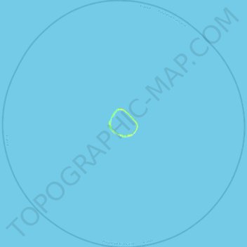
Name: Ahunui topographic map, elevation, terrain.

Location: Ahunui, Hao, Tuamotu-Gambier, French Polynesia, France (-19.86275 -140.64500 -19.40829 -140.17174)

Average elevation: 0 ft

Minimum elevation: 0 ft

Maximum elevation: 39 ft

Other topographic maps

Click on a map to view its topography, its elevation and its terrain.

Paraoa

France > French Polynesia > Hao

Average elevation: 0 ft

Otepa

France > French Polynesia > Hao

Average elevation: 0 ft

Gear up for your next adventure:

🪶LED Camping Lantern - Bright lantern for camp lighting
🎒Trail Energy Bars - High‑calorie bars for hiking energy
🔥Plasma Lighters - Windproof lighters that work in any weather condition
🔋Rechargeable Batteries - Power up your outdoor devices
🔋Solar Power Banks - Keep your GPS and phone charged in remote wilderness areas

As an Amazon Associate, this site earns from qualifying purchases at no extra cost to you.