Geolocate

Straiton topographic map

Click on the map to display elevation.

About this map

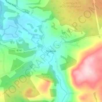
Name: Straiton topographic map, elevation, terrain.

Location: Straiton, South Ayrshire, Scotland, KA19 7NF, United Kingdom (55.29145 -4.57206 55.33145 -4.53206)

Average elevation: 610 ft

Minimum elevation: 308 ft

Maximum elevation: 1,148 ft

Gear up for your next adventure:

🧭GPS Watch Accessories - Bands and chargers for GPS watches
🔊Portable Camp Speaker - Music and alerts at camp
🪶Paracord Bracelet - Survival bracelet with built‑in tools
🧥Waterproof Jacket for Hiking - Breathable and rugged rain jacket for outdoor excursions
🪶Compact Camp Shovel - Folding shovel for campsite tasks

As an Amazon Associate, this site earns from qualifying purchases at no extra cost to you.