
Make a donation
Gear up for your next adventure:
As an Amazon Associate, this site earns from qualifying purchases at no extra cost to you.
Gordon Hill topographic map
Click on the map to display elevation.
Make a donation
Gear up for your next adventure:
As an Amazon Associate, this site earns from qualifying purchases at no extra cost to you.
About this map
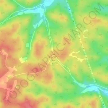
Name: Gordon Hill topographic map, elevation, terrain.
Location: Gordon Hill, Trigg County, Kentucky, United States (36.75834 -88.03230 36.75844 -88.03220)
Average elevation: 551 ft
Minimum elevation: 427 ft
Maximum elevation: 646 ft
Trigg County trails, hiking, mountain biking, running and outdoor activities
Make a donation
Gear up for your next adventure:
As an Amazon Associate, this site earns from qualifying purchases at no extra cost to you.
Other topographic maps
Click on a map to view its topography, its elevation and its terrain.
Land Between the Lakes National Recreation Area
United States > Kentucky > Trigg County
The United States Army Corps of Engineers constructed a dam on the Cumberland, producing another lake. It was planned to be at the same elevation as Kentucky Lake, and the two rivers were to be connected by a canal that did not require locks. This project was intended to lessen the shipping distances for goods…
Average elevation: 479 ft