
Shashiani topographic map
Click on the map to display elevation.
About this map
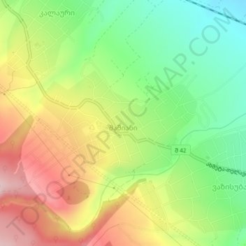
Name: Shashiani topographic map, elevation, terrain.
Location: Shashiani, Gurjaani Municipality, Kakheti, Georgia (41.82438 45.66652 41.83602 45.68987)
Average elevation: 1,860 ft
Minimum elevation: 1,499 ft
Maximum elevation: 2,293 ft