
Vikhurle topographic map
Interactive map
Click on the map to display elevation.
About this map
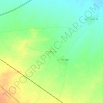
Name: Vikhurle topographic map, elevation, terrain.
Location: Vikhurle, Sindkhede, Dhule, Maharashtra, 425408, India (21.29712 74.60176 21.33712 74.64176)
Average elevation: 538 ft
Minimum elevation: 482 ft
Maximum elevation: 604 ft
Other topographic maps
Click on a map to view its topography, its elevation and its terrain.
Dondaicha
India > Maharashtra > Sindkhede
Dondaicha, Sindkhede, Dhule, Maharashtra, 425408, India
Average elevation: 548 ft