
Make a donation
Gear up for your next adventure:
As an Amazon Associate, this site earns from qualifying purchases at no extra cost to you.
Ballou topographic map
Click on the map to display elevation.
Make a donation
Gear up for your next adventure:
As an Amazon Associate, this site earns from qualifying purchases at no extra cost to you.
About this map
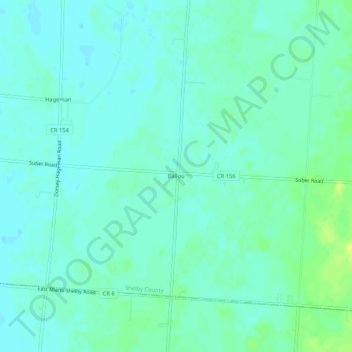
Name: Ballou topographic map, elevation, terrain.
Location: Ballou, Shelby County, Ohio, 45317, United States (40.17977 -84.08022 40.21977 -84.04022)
Average elevation: 1,109 ft
Minimum elevation: 1,089 ft
Maximum elevation: 1,148 ft
Shelby County trails, hiking, mountain biking, running and outdoor activities
Make a donation
Gear up for your next adventure:
As an Amazon Associate, this site earns from qualifying purchases at no extra cost to you.
Other topographic maps
Click on a map to view its topography, its elevation and its terrain.
Fort Loramie
United States > Ohio > Shelby County
According to the United States Census Bureau, the village has a total area of 0.96 square miles (2.49 km2), all land. The village is at an elevation of 953 feet (290 m) above sea level.
Average elevation: 958 ft