
襄河镇 topographic map
Interactive map
Click on the map to display elevation.
About this map
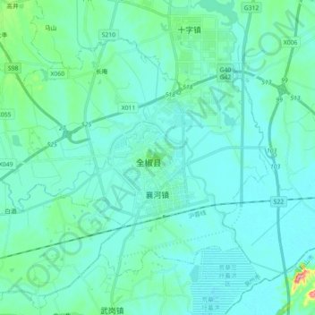
Name: 襄河镇 topographic map, elevation, terrain.
Location: 襄河镇, 全椒县, 滁州市, 安徽省, 中国 (32.03323 118.15855 32.14719 118.33641)
Average elevation: 69 ft
Minimum elevation: 13 ft
Maximum elevation: 456 ft
Other topographic maps
Click on a map to view its topography, its elevation and its terrain.