Geolocate

Guablid topographic map

Click on the map to display elevation.

About this map

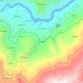
Name: Guablid topographic map, elevation, terrain.

Location: Guablid, Guachapala, Azuay, 010601, Ecuador (-2.79502 -78.72099 -2.75502 -78.68099)

Average elevation: 8,287 ft

Minimum elevation: 6,972 ft

Maximum elevation: 10,285 ft

Gear up for your next adventure:

🥾Hiking Shoes - Durable and comfortable shoes for trail hiking
🧤Hiking Gloves - Protective gloves for rugged trails
🏫Relief Map Kits - Hands-on tools for teaching landforms and elevation
🏔️Mountain Trail Maps - High‑detail maps for popular peaks
🧣Merino Neck Gaiters - Multi-functional headwear for wind and sun protection

As an Amazon Associate, this site earns from qualifying purchases at no extra cost to you.