Geolocate

Chami 2 topographic map

Click on the map to display elevation.

About this map

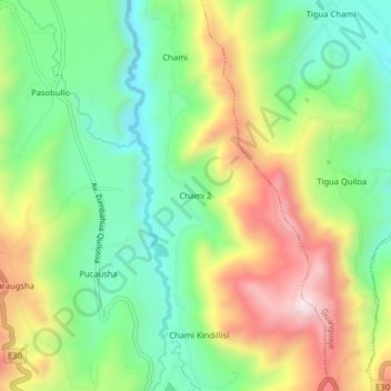
Name: Chami 2 topographic map, elevation, terrain.

Location: Chami 2, Zumbahua, Pujilí, Cotopaxi, 050405, Ecuador (-0.95710 -78.91375 -0.91710 -78.87375)

Average elevation: 11,739 ft

Minimum elevation: 11,004 ft

Maximum elevation: 12,828 ft

Gear up for your next adventure:

🔋Solar Power Banks - Keep your GPS and phone charged in remote wilderness areas
📚USA Hiking Guide Books - Top trail guides and map books
🔭Telescopic Hiking Pole - Adjustable pole for hiking stability
🌡️Portable Weather Meter - Track weather conditions on the trail
📖Nature Tracking Books - Learn to track wildlife and terrain

As an Amazon Associate, this site earns from qualifying purchases at no extra cost to you.