Geolocate

Phancha topographic map

Click on the map to display elevation.

About this map

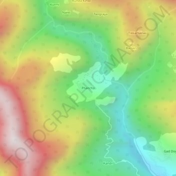
Name: Phancha topographic map, elevation, terrain.

Location: Phancha, Rampur, Shimla, Himachal Pradesh, India (31.57601 77.71293 31.61601 77.75293)

Average elevation: 8,110 ft

Minimum elevation: 6,053 ft

Maximum elevation: 10,722 ft

Other topographic maps

Click on a map to view its topography, its elevation and its terrain.

Daranghati WLS

India > Himachal Pradesh > Rampur > Kasha

Average elevation: 11,696 ft

Gear up for your next adventure:

Solar GPS Watches - Advanced multisport watches with built-in topographic maps
🔭Compact Binoculars - HD vision for scouting terrain and identifying distant landmarks
🛰️Satellite Messengers - Emergency SOS and two-way messaging for off-grid adventures
👟Trail Running Shoes - Lightweight shoes for trail runners
🎒Trekking Poles - Sturdy poles for balance and stability on rough terrain

As an Amazon Associate, this site earns from qualifying purchases at no extra cost to you.