Geolocate

Sunbeam topographic map

Click on the map to display elevation.

About this map

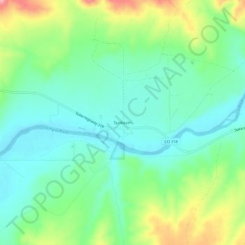
Name: Sunbeam topographic map, elevation, terrain.

Location: Sunbeam, Moffat County, Colorado, 81640, United States (40.53080 -108.21592 40.57080 -108.17592)

Average elevation: 5,994 ft

Minimum elevation: 5,846 ft

Maximum elevation: 6,322 ft

Moffat County trails, hiking, mountain biking, running and outdoor activities

Gear up for your next adventure:

🧭Outdoor Navigation Book - Learn advanced navigation skills
🎒Waterproof Dry Bags - Keep your electronics and maps dry inside your pack
🌡️Portable Weather Meter - Track weather conditions on the trail
🔌Solar Panel Charger - Charge gear sustainably outdoors
❄️Traction Cleats - Prevent slips on icy trails during winter hikes

As an Amazon Associate, this site earns from qualifying purchases at no extra cost to you.