Geolocate

Renuka Ji topographic map

Click on the map to display elevation.

About this map

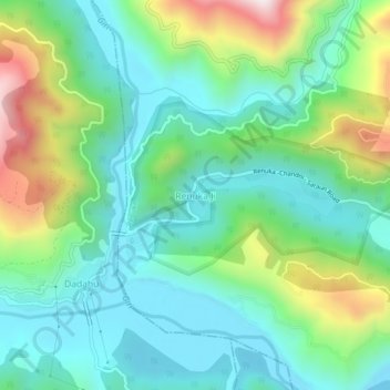
Name: Renuka Ji topographic map, elevation, terrain.

Location: Renuka Ji, Renuka, Sirmaur, Himachal Pradesh, 173022, India (30.58889 77.42937 30.62889 77.46937)

Average elevation: 2,667 ft

Minimum elevation: 2,008 ft

Maximum elevation: 4,324 ft

Gear up for your next adventure:

Camping Coffee Makers - Enjoy premium coffee at the summit or campsite
🌧️Backpack Rain Cover - Keep gear dry in wet weather
🚗GPS Dash Cams - Record your scenic drives through mountain passes and canyons
🛠️Outdoor Gear Repair Kit - Essential tools to fix gear on the trail
Backpacking Tents - Weight-optimized shelters for multi-day topographic surveys

As an Amazon Associate, this site earns from qualifying purchases at no extra cost to you.