Geolocate

Bettiah topographic map

Click on the map to display elevation.

About this map

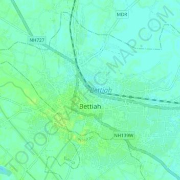
Name: Bettiah topographic map, elevation, terrain.

Location: Bettiah, West Champaran, Bihar, 808202, India (26.78157 84.48124 26.83370 84.54747)

Average elevation: 246 ft

Minimum elevation: 233 ft

Maximum elevation: 269 ft

Gear up for your next adventure:

📚Navigation Handbooks - Master the art of reading topographic maps and using a compass
🛰️Handheld GPS Units - Professional satellite navigators for precise backcountry mapping
🔦Powerful Headlamps - Ultra-bright hands-free lighting for night navigation
📌Outdoor GPS Map App - Apps and devices for digital topographic navigation
🛰️Satellite Messengers - Emergency SOS and two-way messaging for off-grid adventures

As an Amazon Associate, this site earns from qualifying purchases at no extra cost to you.