
Gladbrook topographic map
Interactive map
Click on the map to display elevation.
About this map
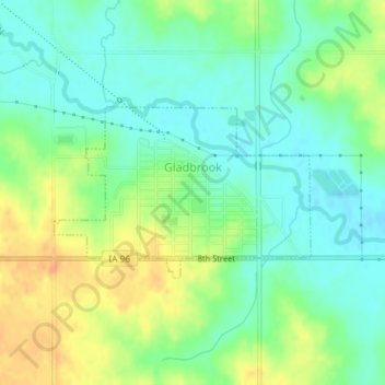
Name: Gladbrook topographic map, elevation, terrain.
Location: Gladbrook, Tama County, Iowa, United States (42.17996 -92.72818 42.19197 -92.70383)
Average elevation: 984 ft
Minimum elevation: 932 ft
Maximum elevation: 1,056 ft
Other topographic maps
Click on a map to view its topography, its elevation and its terrain.
Dysart
United States > Iowa > Tama County
Dysart, Tama County, Iowa, United States
Average elevation: 961 ft
Elberon
United States > Iowa > Tama County
Elberon, Tama County, Iowa, United States
Average elevation: 869 ft
Toledo
United States > Iowa > Tama County
Toledo, Tama County, Iowa, United States
Average elevation: 883 ft