
Thank you for supporting this site ❤️
Make a donation
Make a donation
Gear up for your next adventure:
As an Amazon Associate, this site earns from qualifying purchases at no extra cost to you.
Hadmatiya topographic map
Click on the map to display elevation.
Thank you for supporting this site ❤️
Make a donation
Make a donation
Gear up for your next adventure:
As an Amazon Associate, this site earns from qualifying purchases at no extra cost to you.
About this map
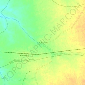
Name: Hadmatiya topographic map, elevation, terrain.
Location: Hadmatiya, Paddhari Taluka, Rajkot District, Gujarat, India (22.41352 70.46005 22.45352 70.50005)
Average elevation: 226 ft
Minimum elevation: 167 ft
Maximum elevation: 262 ft
Thank you for supporting this site ❤️
Make a donation
Make a donation
Gear up for your next adventure:
As an Amazon Associate, this site earns from qualifying purchases at no extra cost to you.