
Weeki Wachee Gardens topographic map
Interactive map
Click on the map to display elevation.
About this map
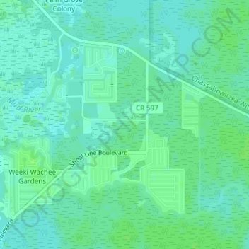
Name: Weeki Wachee Gardens topographic map, elevation, terrain.
Average elevation: 13 ft
Minimum elevation: 0 ft
Maximum elevation: 26 ft
Hernando County trails, hiking, mountain biking, running and outdoor activities
Other topographic maps
Click on a map to view its topography, its elevation and its terrain.
Weeki Wachee Spring
United States > Florida > Hernando County > Spring Hill > Weeki Wachee
Average elevation: 36 ft
Weeki Wachee Acres
United States > Florida > Hernando County > Weeki Wachee Acres
Average elevation: 36 ft