
bitholi topographic map
Click on the map to display elevation.
About this map
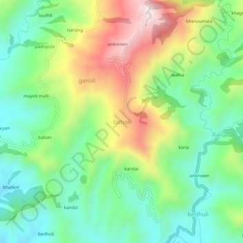
Name: bitholi topographic map, elevation, terrain.
Location: bitholi, Dwarahat, Almora, Uttarakhand, 263653, India (29.74957 79.35152 29.78957 79.39152)
Average elevation: 4,104 ft
Minimum elevation: 3,379 ft
Maximum elevation: 5,361 ft