
Wadi Khuraytah topographic map
Interactive map
Click on the map to display elevation.
About this map
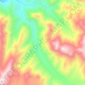
Name: Wadi Khuraytah topographic map, elevation, terrain.
Location: Wadi Khuraytah, Saint Catherine, South Sinai, Egypt (28.42903 33.85125 28.48396 33.90289)
Average elevation: 4,341 ft
Minimum elevation: 2,490 ft
Maximum elevation: 6,411 ft