Geolocate

Fosters Ridge topographic map

Click on the map to display elevation.

About this map

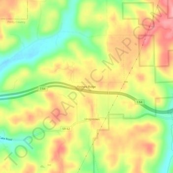
Name: Fosters Ridge topographic map, elevation, terrain.

Location: Fosters Ridge, Perry County, Indiana, 47515, United States (38.21284 -86.68249 38.25284 -86.64249)

Average elevation: 643 ft

Minimum elevation: 449 ft

Maximum elevation: 810 ft

Other topographic maps

Click on a map to view its topography, its elevation and its terrain.

Tell City

United States > Indiana > Perry County

Average elevation: 427 ft

Gear up for your next adventure:

📖Nature Tracking Books - Learn to track wildlife and terrain
🔌USB Car Charger - Car charger for on‑the‑go power needs
🧦Hiking Socks - Comfortable socks to prevent blisters on long hikes
🔦Compact Flashlight - Reliable flashlight for emergencies
🛡️Bear Spray Outdoor - Protection in bear country hikes

As an Amazon Associate, this site earns from qualifying purchases at no extra cost to you.