Geolocate

Capaso topographic map

Click on the map to display elevation.

About this map

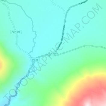
Name: Capaso topographic map, elevation, terrain.

Location: Capaso, Capazo, El Collao, Puno, Perú (-17.20367 -69.76469 -17.16367 -69.72469)

Average elevation: 14,649 ft

Minimum elevation: 14,222 ft

Maximum elevation: 16,099 ft

Gear up for your next adventure:

🧷Carabiner Set - Durable clips for gear attachment
👖Convertible Hiking Pants - Versatile zip-off pants for changing altitudes and temperatures
📷Action Camera - Capture your outdoor adventures in HD
🦟Ultrasonic Repellers - Create a bug-free zone at your camp or rest stop
🗻Climbing Gear Basics - Essential gear for beginner climbers

As an Amazon Associate, this site earns from qualifying purchases at no extra cost to you.