
Whiting topographic map
Click on the map to display elevation.
About this map
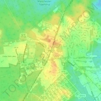
Name: Whiting topographic map, elevation, terrain.
Average elevation: 154 ft
Minimum elevation: 98 ft
Maximum elevation: 197 ft
Ocean County trails, hiking, mountain biking, running and outdoor activities
Other topographic maps
Click on a map to view its topography, its elevation and its terrain.
Cedar Glen West
United States > New Jersey > Ocean County > Manchester Township > Cedar Glen West
Average elevation: 79 ft
Cedar Glen Lakes
United States > New Jersey > Ocean County > Manchester Township > Cedar Glen Lakes
Average elevation: 154 ft