
Pullalarevu topographic map
Click on the map to display elevation.
About this map
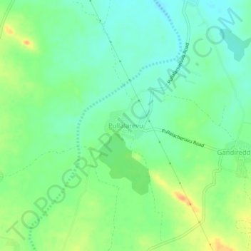
Name: Pullalarevu topographic map, elevation, terrain.
Location: Pullalarevu, Raptadu, Anantapur, Andhra Pradesh, 515722, India (14.53765 77.54711 14.57765 77.58711)
Average elevation: 1,276 ft
Minimum elevation: 1,230 ft
Maximum elevation: 1,342 ft