
Dubai Creek topographic map
Interactive map
Click on the map to display elevation.
About this map
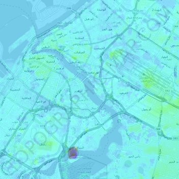
Name: Dubai Creek topographic map, elevation, terrain.
Location: Dubai Creek, Deira, Dubai, United Arab Emirates (25.18836 55.28478 25.29710 55.35135)
Average elevation: 10 ft
Minimum elevation: -3,478 ft
Maximum elevation: 276 ft
Other topographic maps
Click on a map to view its topography, its elevation and its terrain.
Al Rigga
United Arab Emirates > Dubai > Deira
Al Rigga, Deira, Dubai, United Arab Emirates, park deira duabi
Average elevation: 20 ft
Deira
United Arab Emirates > Dubai > Deira
Deira, Dubai, 103711, United Arab Emirates
Average elevation: 7 ft