Geolocate

Al Rigga topographic map

Click on the map to display elevation.

About this map

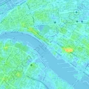
Name: Al Rigga topographic map, elevation, terrain.

Location: Al Rigga, Deira, Dubai, United Arab Emirates, park deira duabi (25.26317 55.31049 25.26416 55.31157)

Average elevation: 20 ft

Minimum elevation: -23 ft

Maximum elevation: 92 ft

Other topographic maps

Click on a map to view its topography, its elevation and its terrain.

Dubai Creek

United Arab Emirates > Dubai > Deira

Average elevation: 10 ft

Gear up for your next adventure:

📶Satellite Messenger - Communication device off‑grid
📦Gear Storage Bags - Organize and protect outdoor equipment
🪶Fire Starter Kit - Reliable fire starter for survival and camping
❄️Traction Cleats - Prevent slips on icy trails during winter hikes
🕶️GPS Smartphone Mount - Secure mount for phone navigation

As an Amazon Associate, this site earns from qualifying purchases at no extra cost to you.